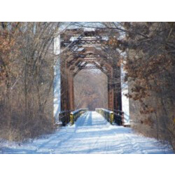
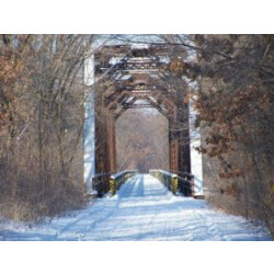
About 650 miles of groomed trails await snowmobilers in the La Crosse area. Connections can be made to every trail in Wisconsin and north to Canada. Seven clubs welcome visitors to the trails. Maps are available at the La Crosse Area Convention & Visitors Bureau office in Riverside Park or at http://laxsnowmobile.org/ or call the trail condition hotline at 608-782-4500.
Find a map of the La Crosse County snowmobile trails here.
It’s a little known fact that Lake Onalaska is connected to Lake Superior through a series snowmobile trails.
A major state snowmobile route takes riders north from Onalaska all the way to Bayfield County, the northern most tip of Wisconsin that juts into Lake Superior.
Three major snowmobile corridors hook up on the outskirts of Onalaska. Riders can head east on the La Crosse River trail.
Corridor 26 takes off through Holmen, Melrose and on toward Wisconsin Rapids through the Black River State Forest.
Corridors 29 and 31 separate north of Trempealeau, with 29 heading toward Osseo and 31 leading all the way north to Bayfield, including connections to other northern trails along the way.


